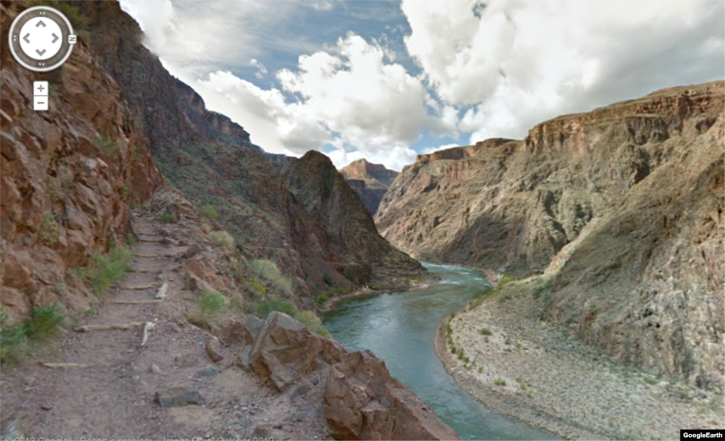
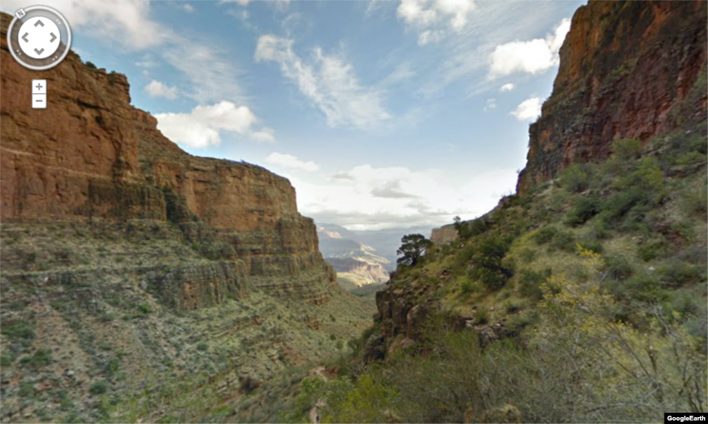
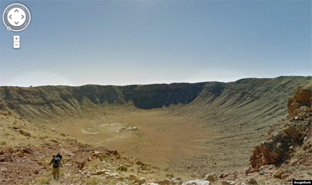
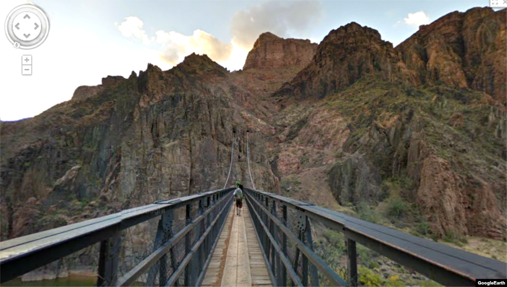
The Grand Canyon is an icon of the American landscape and receives about five million visitors a year, according to the National Park Service.
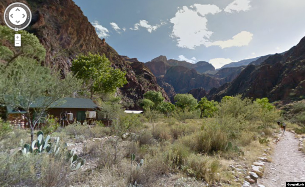
Still, the canyon’s remote location in the southwestern state of Arizona, make it hard for many to make the trip. Now, thanks to Google Maps, anyone with an internet connection can take a virtual hike through the rugged terrain.
According to the Google Maps blog, the images cover 75 miles of trails through what is considered one of the seven natural wonders of the world.
The Google team members strapped 40-pound, 15-lens cameras called Trekkers to their backs to capture the more than 9,500 images, according to the blog.