If Greenland's ice and snow were to melt completely, global sea level would rise more than seven meters. Climate experts agree that frozen ground cover is melting at an accelerating pace, raising sea level.
Now a new study finds Greenland's vast network of little-understood rivers and streams is the major contributor moving that meltwater seaward.
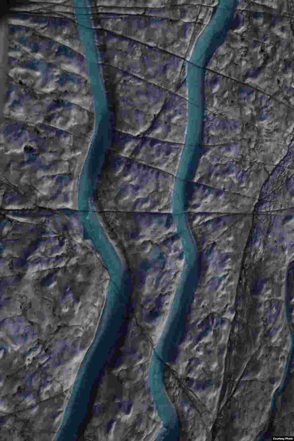
UCLA geography professor Laurence Smith is lead author of the study. He says Greenland is not a vast plane of ice and snow but "a very wet icescape covered with branching streams, rivulets and even large flowing blue rivers" which rapidly remove meltwater from the ice sheet surface.
The meltwater is carried "by these highly organized stream systems over the ice and then into the ice through these sinkholes called moulins,” he says.
Those cracks penetrate deep into the interior of the ice sheet, carrying the meltwater into the ice, allowing it to escape into the downstream edge, and from there to flow to the ocean. So, Smith says, Greenland's ice sheet is "more like Swiss cheese" than "a featureless plane of ice."
Greenland Icemelt
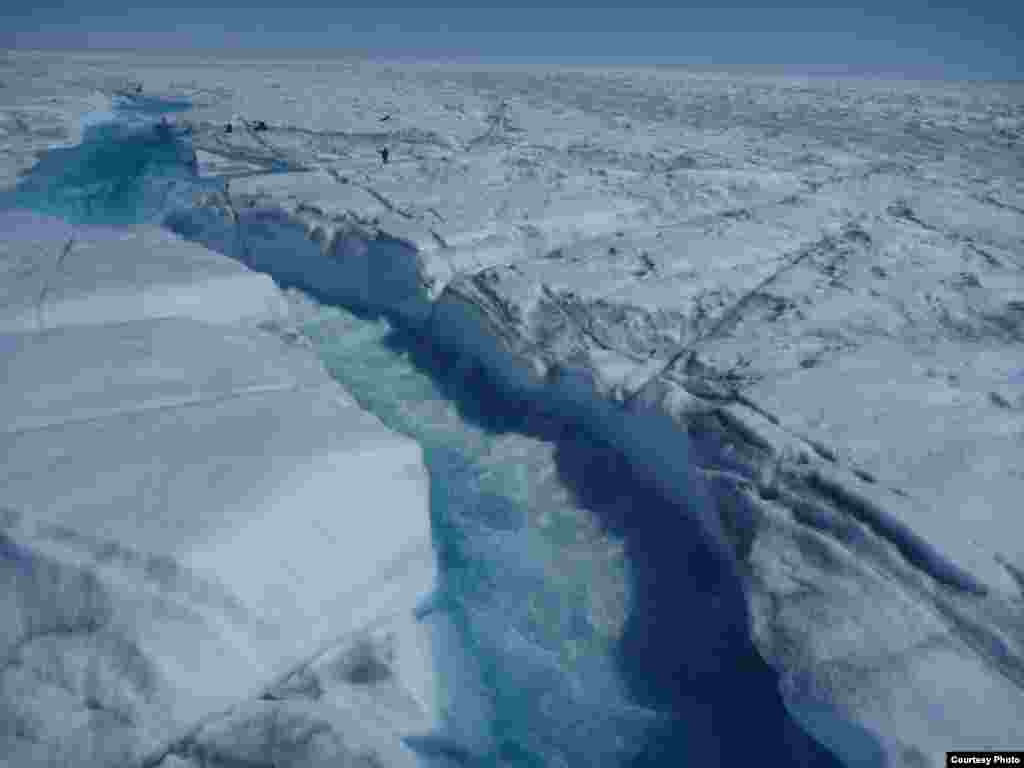
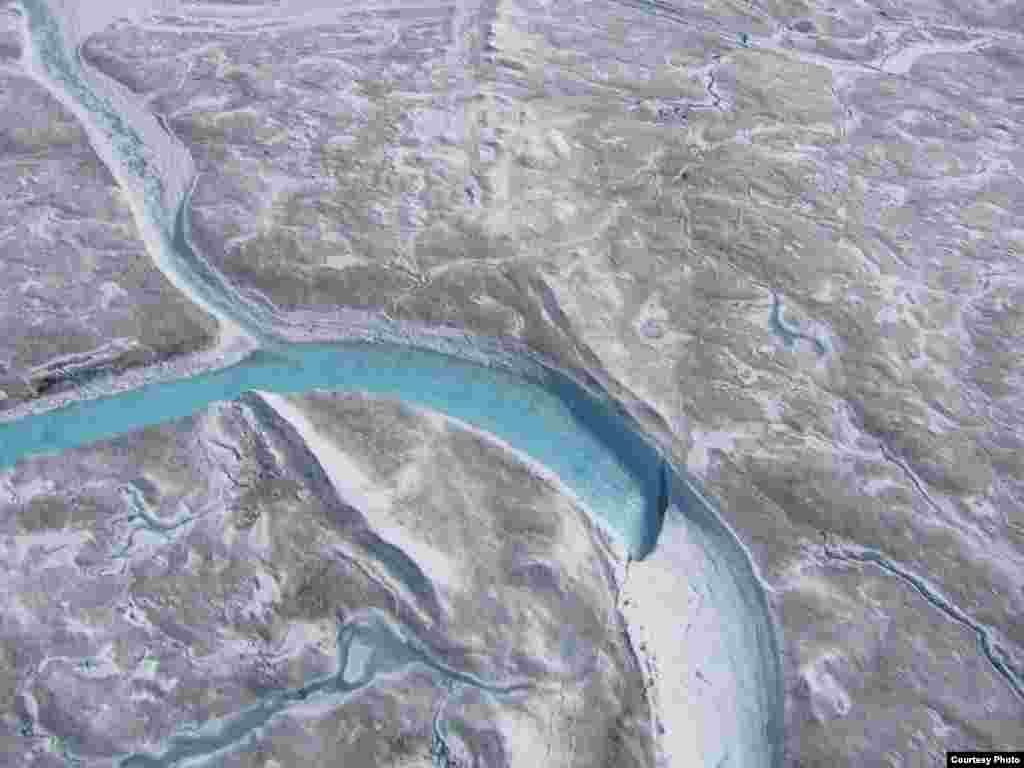
1/14The rivers and streams that carry glacial meltwater across Greenland’s ice sheet are a beautiful shade of blue, but the water moves so fast and drains so unpredictably into moulins or sinkholes that researchers needed to use a range of high-tech instruments to get their measurements. (UCLA/Laurence C. Smith)
Show moreShow less
2/14Meltwater drains from Greenland’s ice sheet at such a fast rate that researchers couldn’t risk entering the water to get readings so they used a remote-controlled drone boat. (UCLA/ Laurence C. Smith)
Show moreShow less
3/14Researchers measured how fast water was flowing through rivers using an Acoustic Doppler Current Profiler. (UCLA/Laurence C. Smith)
Show moreShow less
4/14To calculate river flow, researchers used autonomous GPS beacons, which drift down the river broadcasting its location and velocity to communications satellites. (UCLA/ Laurence C. Smith)
Show moreShow less
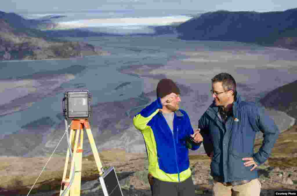
5/14UCLA geography graduate student Lincoln Pitcher (left) and UCLA geography professor Laurence C. Smith overlook the mighty Isortoq River, where meltwater leaves the Greenland ice sheet to flow to the ocean seen in the distance. (UCLA/Laurence C. Smith)
Show moreShow less
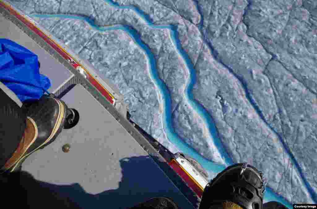
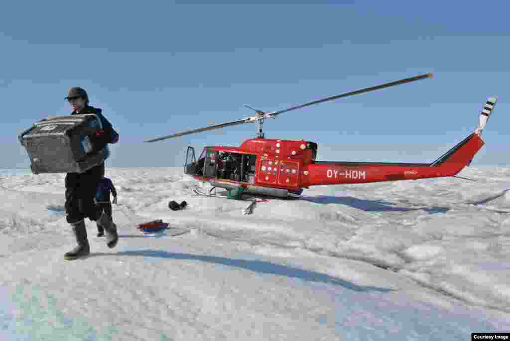
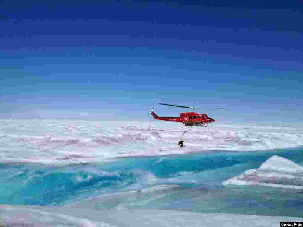
6/14Conditions were so risky on the ground that researchers surveyed the ice sheet from the safety of a helicopter. (UCLA/Laurence C. Smith)
Show moreShow less
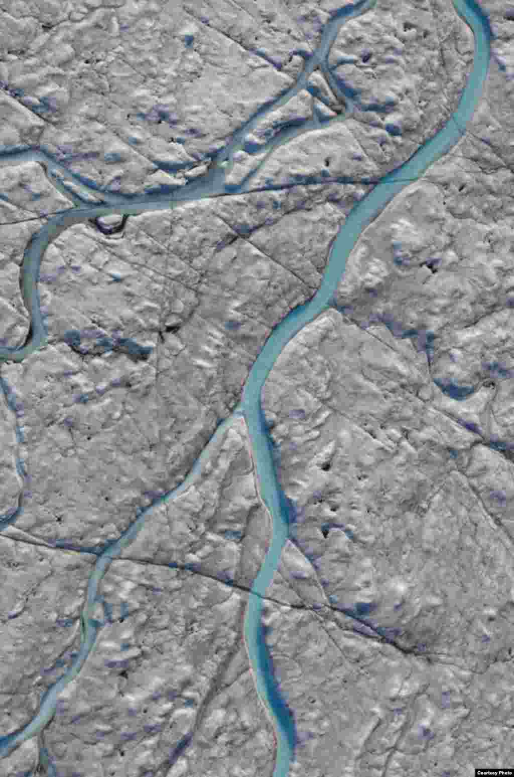
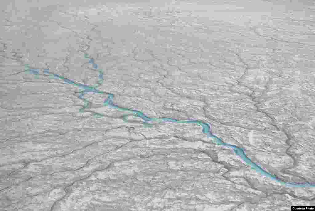
7/14The UCLA-led team mapped 523 supraglacial rivers, which flow across the top of glaciers. These drained meltwater from a 5,000 square kilometer area of southwest Greenland after an extreme melt event in 2012. (UCLA/Laurence C. Smith)
Show moreShow less
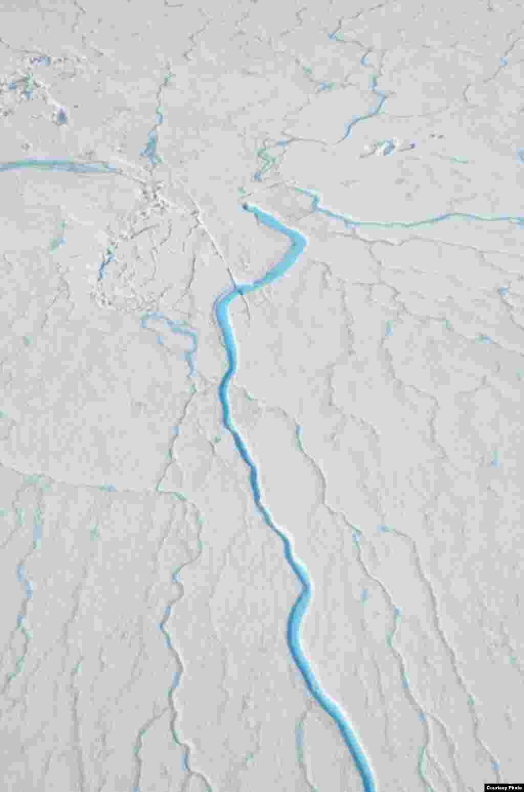
8/14When snow and ice melt during the summer months, waterways like this one form an intricate drainage system that captures virtually all surface runoff. (UCLA/Laurence C. Smith)
Show moreShow less
9/14Greenland’s supraglacial rivers are large and swift. Note researchers on right for scale! (UCLA/Laurence C. Smith)
Show moreShow less
10/14The UCLA-led study finds that a vast network of previously little-understood rivers and streams that flow on the ice sheet into the ocean could be a major factor contributing to rising sea levels. (UCLA/Laurence C. Smith)
Show moreShow less
11/14All of the 523 supraglacial rivers abruptly end in moulins, such as the one seen near the top of this photo. (UCLA/Laurence C. Smith)
Show moreShow less
12/14Meltwater formed on the surface of the Greenland ice sheet rushes into supraglacial rivers that then fall into moulins or sinkholes such as the one shown here. (UCLA/Laurence C. Smith)
Show moreShow less
13/14Researchers moved around the 5,000 square kilometer research area by helicopter. (UCLA/Laurence C. Smith)
Show moreShow less
14/14Researchers were ferried by helicopter since conditions on the ground were so dangerous. (UCLA/ Laurence C. Smith)
Show moreShow less
Previous slide
Next slide
Satellites and legwork
Smith and his graduate students are studying these features using satellites and down-to-earth legwork. In 2012, his team was in Greenland to map 523 waterways and to deploy a variety of high-tech tools. ["We used] a combination of satellite remote-sensing, using very high resolution military grade imaging systems from space, as well as intensive field work involving ice camps on top of the ice sheet, involving autonomous drifters and drones and other high tech approaches,” he says.
Writing in the Proceedings of the National Academy of Sciences, Smith says the meltwater loss from waterways is greater than loss from lakes and ice calving combined. Until now, those were thought to be the largest contributors to sea level rise.
"So what our work shows is a clear and definite connection between climatological melting on the top of the ice sheet and the downstream outflow of water to sea level rise and floods in the rivers moving over the Greenland coast."
Smith says his findings can better inform climate models that are predicting more intensive and extensive melting over Greenland in the future. That melting, he says, increases the likelihood of greater floods from surface waterways and their flow into the ocean.